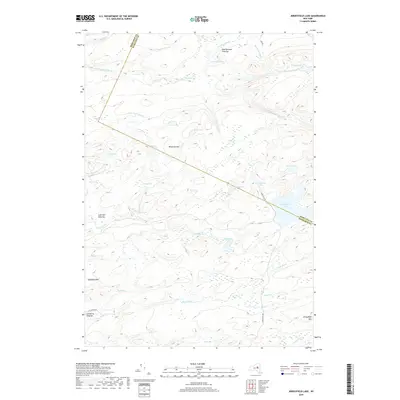
2019 Map of Jerseyfield Lake
USGS Topo · Published 2019About this map
Jerseyfield Lake sits at the heart of this landscape along the border of Herkimer and Hamilton counties. The area is defined by a dense network of high-elevation wetlands and small lakes, including Bochen Lake, Deer Lake, and Mud Lake. Distinct clearings such as New Holland Clearing and Lafe Hall Clearing represent small human interventions in a terrain otherwise dominated by peaks like Jerseyfield Mtn and Mosquito Hill.
Find a feature on this map
44 named features on this map. Tap any name to fly to it.
Don’t see what you’re looking for? This feature index may not catch every label — zoom into the map to look around manually.
Map Details
Editions of this 2019 Jerseyfield Lake Map
This is the sole edition of this map. No revisions or reprints were ever made.
Other maps of this area

1900 · Little Falls
USGS Topo · 1:62,500

1900 · Wilmurt
USGS Topo · 1:62,500

1901 · Lassellsville
USGS Topo · 1:62,500

1902 · Wilmurt
USGS Topo · 1:62,500

1903 · Lassellsville
USGS Topo · 1:62,500

1903 · Little Falls
USGS Topo · 1:62,500

1904 · Piseco Lake
USGS Topo · 1:62,500

1906 · Piseco Lake
USGS Topo · 1:62,500

1908 · Piseco Lake
USGS Topo · 1:62,500

1939 · Little Falls
USGS Topo · 1:62,500