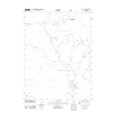
2012 Map of Jess Valley
USGS Topo · Published 2012About this map
Jess Valley and the surrounding high-altitude terrain of Modoc County define this landscape, where the S Fork Pit River flows through a series of meadows and canyons. The settlement of Campbell and nearby Flourney occupy the northern reaches of the valley, while the Modoc Peatmoss Company indicates a specific local industrial use of the valley's wetlands. To the south, the topography rises toward Mahogany Ridge, and the drainage basin becomes more complex with numerous seasonal and perennial flows like Harvey Creek and Parsnip Creek.
Find a feature on this map
47 named features on this map. Tap any name to fly to it.
Don’t see what you’re looking for? This feature index may not catch every label — zoom into the map to look around manually.
Map Details
Editions of this 2012 Jess Valley Map
This is the sole edition of this map. No revisions or reprints were ever made.
Other maps of this area

1886 · Alturas
USGS Topo · 1:250,000

1892 · Alturas
USGS Topo · 1:250,000

1954 · Alturas
USGS Topo · 1:250,000

1958 · Alturas
USGS Topo · 1:250,000

1962 · Alturas
USGS Topo · 1:250,000

1962 · Tule Mountain
USGS Topo · 1:24,000
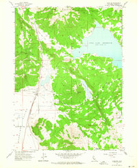
1962 · Madeline
USGS Topo · 1:24,000
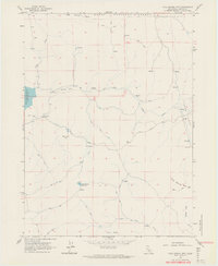
1962 · Cold Spring Mtn
USGS Topo · 1:24,000

1962 · Jess Valley
USGS Topo · 1:24,000
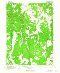
1962 · Emerson Peak
USGS Topo · 1:24,000