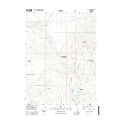
2015 Map of Jess Valley
USGS Topo · Published 2015About this map
Jess Valley and the small settlement of Campbell anchor this high-country landscape in Northeastern California, where the Modoc National Forest spans across the boundary of Modoc and Lassen counties. The drainage network is particularly detailed, showing the headwaters of the S Fork Pit River and its numerous tributaries including Mill Cr, Coyote Cr, and Parsnip Cr. The presence of the Jess Valley Cinder Pit reflects the local volcanic geology, while high-altitude features like Mahogany Ridge and Blue Lake define the eastern terrain. Land use here is a mix of forest management and water resource tracking, with numerous named springs and spurs such as Parsnip Springs and Clark Valley Spr A providing vital water points in the high basin terrain.
Find a feature on this map
31 named features on this map. Tap any name to fly to it.
Don’t see what you’re looking for? This feature index may not catch every label — zoom into the map to look around manually.
Map Details
Editions of this 2015 Jess Valley Map
This is the sole edition of this map. No revisions or reprints were ever made.
Other maps of this area

1886 · Alturas
USGS Topo · 1:250,000

1892 · Alturas
USGS Topo · 1:250,000

1954 · Alturas
USGS Topo · 1:250,000

1958 · Alturas
USGS Topo · 1:250,000

1962 · Alturas
USGS Topo · 1:250,000

1962 · Tule Mountain
USGS Topo · 1:24,000
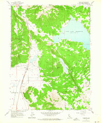
1962 · Madeline
USGS Topo · 1:24,000
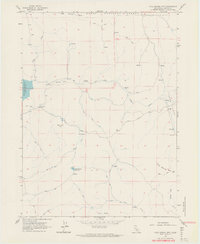
1962 · Cold Spring Mtn
USGS Topo · 1:24,000

1962 · Jess Valley
USGS Topo · 1:24,000
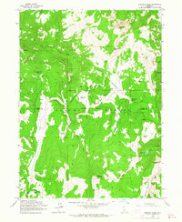
1962 · Emerson Peak
USGS Topo · 1:24,000