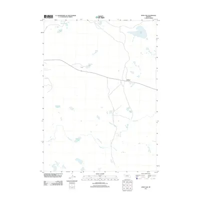
2011 Map of Jesse Lake
USGS Topo · Published 2011About this map
Hoffland and Birdsell serve as the primary points of settlement in this northern Nebraska landscape, situated along a transportation corridor that cuts through the Sandhills. The terrain is defined by a dense concentration of alkali lakes and seasonal wetlands, including Jesse Lake, O'Neil Lake, and the cluster known as Fenner Lakes. The presence of Sewer Lake Number 3 and Sweeney Lake suggests a complex local hydrology, while Snake Creek meanders through the southern half of the quadrangle. This 2011 survey by the U.S. Geological Survey details a rural Sheridan County environment where water sources and rail access historically dictated the location of small communities and ranching outposts.
Find a feature on this map
12 named features on this map. Tap any name to fly to it.
Don’t see what you’re looking for? This feature index may not catch every label — zoom into the map to look around manually.
Map Details
Editions of this 2011 Jesse Lake Map
This is the sole edition of this map. No revisions or reprints were ever made.
Other maps of this area

1896 · Browns Creek
USGS Topo · 1:125,000

1899 · Browns Creek
USGS Topo · 1:125,000

1946 · Berea Creek East
USGS Topo · 1:24,000

1947 · Alliance
USGS Topo · 1:24,000

1948 · Berea Creek East
USGS Topo · 1:24,000

1948 · Alliance
USGS Topo · 1:24,000

1948 · Antioch
USGS Topo · 1:62,500

1949 · Lynn
USGS Topo · 1:62,500

1949 · Antioch
USGS Topo · 1:62,500

1950 · Storm Lake
USGS Topo · 1:62,500