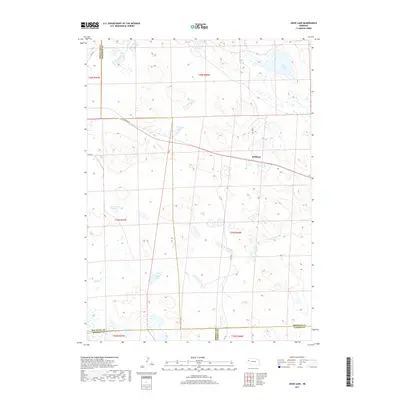
2017 Map of Jesse Lake
USGS Topo · Published 2017About this map
Hoffland is the primary point of reference in this landscape of the Nebraska Sandhills, where a complex network of wetlands and seasonal water bodies characterizes the terrain. The topography is defined by numerous depressions and natural basins, including Jesse Lake and Fenner Lakes in the north, and Reeves Lake and Clough Lake further south. This 2017 survey by the U.S. Geological Survey illustrates a sparsely populated region where transportation is limited to a few developed roads like Perkins Rd and Rock Rd, alongside specialized routes such as 437th Trl. The inclusion of Sewer Lake Number 3 suggests specific water management or industrial use within this otherwise rural environment. Positioned at the intersection of several county lines, the map details the boundaries separating Box Butte, Sheridan, Morrill, and Garden counties.
Find a feature on this map
26 named features on this map. Tap any name to fly to it.
Don’t see what you’re looking for? This feature index may not catch every label — zoom into the map to look around manually.
Map Details
Editions of this 2017 Jesse Lake Map
This is the sole edition of this map. No revisions or reprints were ever made.
Other maps of this area

1896 · Browns Creek
USGS Topo · 1:125,000

1899 · Browns Creek
USGS Topo · 1:125,000

1946 · Berea Creek East
USGS Topo · 1:24,000

1947 · Alliance
USGS Topo · 1:24,000

1948 · Berea Creek East
USGS Topo · 1:24,000

1948 · Alliance
USGS Topo · 1:24,000

1948 · Antioch
USGS Topo · 1:62,500

1949 · Lynn
USGS Topo · 1:62,500

1949 · Antioch
USGS Topo · 1:62,500

1950 · Storm Lake
USGS Topo · 1:62,500