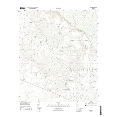
2017 Map of Jesup NW
USGS Topo · Published 2017About this map
The Altamaha River defines the northeastern boundary of this landscape, carving a wide path along Oglethorpe Bluff and creating distinctive features like Carter Island and the oxbow at Hughes Old River. This riverine environment gives way to a network of drainage creeks including Little Goose Cr, Holstein Br, and Sweetwater Br that influence the local topography and road layout.
Find a feature on this map
169 named features on this map. Tap any name to fly to it.
Don’t see what you’re looking for? This feature index may not catch every label — zoom into the map to look around manually.
Map Details
Editions of this 2017 Jesup NW Map
This is the sole edition of this map. No revisions or reprints were ever made.
Other maps of this area

1918 · Jesup
USGS Topo · 1:62,500

1920 · Glennville
USGS Topo · 1:62,500

1943 · Jesup
USGS Topo · 1:62,500

1944 · Glennville
USGS Topo · 1:62,500

1946 · Brunswick
USGS Topo · 1:250,000

1948 · Brunswick
USGS Topo · 1:250,000

1950 · Glennville
USGS Topo · 1:62,500

1953 · Waycross
USGS Topo · 1:250,000

1956 · Brunswick
USGS Topo · 1:250,000

1958 · Waycross
USGS Topo · 1:250,000