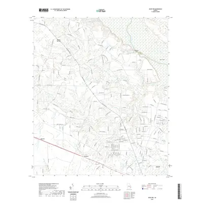
2020 Map of Jesup NW
USGS Topo · Published 2020About this map
Oglethorpe Bluff stands over the Altamaha River at the boundary of Long Co and Wayne Co, anchoring a landscape defined by its intricate drainage systems and rural homesteads. This modern survey reveals a patchwork of family-named roads and minor watercourses such as Little Goose Cr and Wickers Br that converge toward the river valley. The settlement pattern is largely dispersed, with clusters of activity near Madray Springs and the southern reach toward the outskirts of Jesup.
Find a feature on this map
146 named features on this map. Tap any name to fly to it.
Don’t see what you’re looking for? This feature index may not catch every label — zoom into the map to look around manually.
Map Details
Editions of this 2020 Jesup NW Map
This is the sole edition of this map. No revisions or reprints were ever made.
Other maps of this area

1918 · Jesup
USGS Topo · 1:62,500

1920 · Glennville
USGS Topo · 1:62,500

1943 · Jesup
USGS Topo · 1:62,500

1944 · Glennville
USGS Topo · 1:62,500

1946 · Brunswick
USGS Topo · 1:250,000

1948 · Brunswick
USGS Topo · 1:250,000

1950 · Glennville
USGS Topo · 1:62,500

1953 · Waycross
USGS Topo · 1:250,000

1956 · Brunswick
USGS Topo · 1:250,000

1958 · Waycross
USGS Topo · 1:250,000