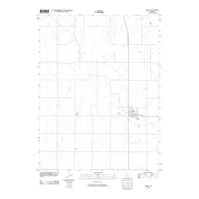
2009 Map of Jewell
USGS Topo · Published 2009About this map
Jewell serves as the central hub of this agricultural landscape, situated at the confluence of several vital watercourses. The town's grid is clearly defined by local thoroughfares such as N Mechanic St and Byram St, while the surrounding prairie is shaped by the complex drainage systems of West Buffalo Creek, Middle Buffalo Creek, and East Buffalo Creek. These streams converge south of the township into the main stem of Buffalo Creek.
Find a feature on this map
16 named features on this map. Tap any name to fly to it.
Don’t see what you’re looking for? This feature index may not catch every label — zoom into the map to look around manually.
Map Details
Editions of this 2009 Jewell Map
This is the sole edition of this map. No revisions or reprints were ever made.
Other maps of this area

1894 · Mankato
USGS Topo · 1:125,000

1955 · Beloit
USGS Topo · 1:250,000

1959 · Beloit
USGS Topo · 1:250,000

1962 · Jewell SE
USGS Topo · 1:24,000

1962 · Glen Elder North
USGS Topo · 1:24,000

1962 · Jewell SW
USGS Topo · 1:24,000

1968 · Burr Oak
USGS Topo · 1:24,000
1969 · Randall
USGS Topo · 1:24,000
1969 · Ionia
USGS Topo · 1:24,000

1969 · Mankato
USGS Topo · 1:24,000