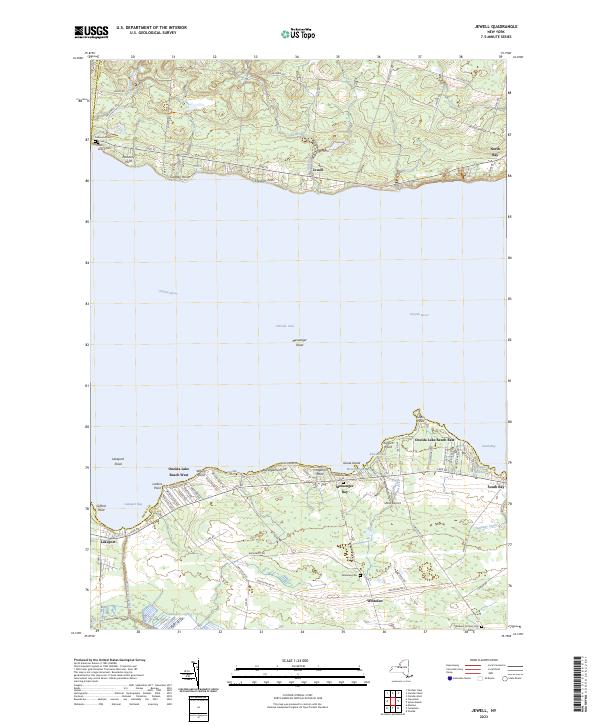
2023 Map of Jewell
USGS Topo · Published 2023About this map
Oneida Lake dominates this central New York landscape, defining the character of shoreline communities like Jewell on the north bank and Lakeport to the south. The mapping illustrates a shore defined by prominent points such as Chisholm Point and Lewis Point, alongside recreational areas at Oneida Lake Beach West and Oneida Lake Beach East. Inland, the terrain is shaped by the drainages of Canaseraga Creek and Stephens Creek, while the settlement of Whitelaw serves as a southern anchor.
Find a feature on this map
82 named features on this map. Tap any name to fly to it.
Don’t see what you’re looking for? This feature index may not catch every label — zoom into the map to look around manually.
Map Details
Editions of this 2023 Jewell Map
This is the sole edition of this map. No revisions or reprints were ever made.
Other maps of this area

1895 · Chittenango
USGS Topo · 1:62,500

1895 · Oneida
USGS Topo · 1:62,500

1898 · Oneida
USGS Topo · 1:62,500

1898 · Chittenango
USGS Topo · 1:62,500

1902 · Chittenango
USGS Topo · 1:62,500

1902 · Oneida
USGS Topo · 1:62,500

1905 · Taberg
USGS Topo · 1:62,500

1906 · Kasoag
USGS Topo · 1:62,500

1939 · Oneida
USGS Topo · 1:62,500

1941 · Cleveland
USGS Topo · 1:24,000