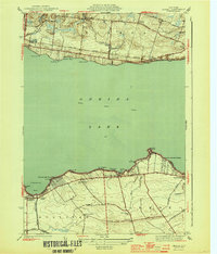
1944 Map of Jewell
USGS Topo · Published 1944About this map
Oneida Lake dominates the central portion of this 1940s landscape, with its northern and southern shores showing distinct patterns of mid-century settlement and transit. Along the northern bank, the New York Ontario and Western railroad corridor serves the lakeside hamlets of Jewell and North Bay, passing distinctive landmarks like Nunnery Pt and Eaton Bay. This shoreline is marked by numerous points and bays, suggesting a landscape shaped by both seasonal recreation and stable rail-linked communities.
Find a feature on this map
48 named features on this map. Tap any name to fly to it.
Don’t see what you’re looking for? This feature index may not catch every label — zoom into the map to look around manually.
Map Details
Editions of this 1944 Jewell Map
2 editions found
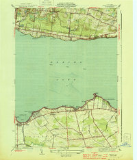
Other maps of this area

1895 · Chittenango
USGS Topo · 1:62,500

1895 · Oneida
USGS Topo · 1:62,500

1898 · Oneida
USGS Topo · 1:62,500

1898 · Chittenango
USGS Topo · 1:62,500

1902 · Chittenango
USGS Topo · 1:62,500

1902 · Oneida
USGS Topo · 1:62,500

1905 · Taberg
USGS Topo · 1:62,500

1906 · Kasoag
USGS Topo · 1:62,500

1939 · Oneida
USGS Topo · 1:62,500

1941 · Cleveland
USGS Topo · 1:24,000