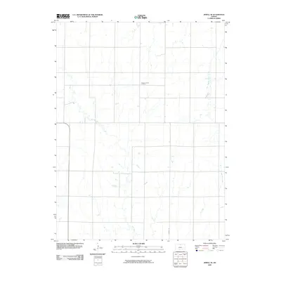
2009 Map of Jewell SE
USGS Topo · Published 2009About this map
Pleasant Prairie Cemetery sits centrally within this landscape of Mitchell County, a quiet landmark amidst an extensive network of prairie drainage. The area is defined by the winding paths of Plum Creek and Little Cheyenne Creek, which carve subtle courses through the agricultural terrain. Unlike more densely settled regions, this part of Kansas is characterized by its wide-open grid system, anchored by corridors like Randall Rd. Smaller watercourses such as Dry Creek and West Asher Creek define the southeastern quadrant, illustrating the intricate natural irrigation that has long supported local farming. This 2009 survey reflects the enduring rural structure of the region, where the placement of cemeteries and the flow of seasonal creeks remain the primary geographical markers for residents and genealogists tracing family ties to the land.
Find a feature on this map
6 named features on this map. Tap any name to fly to it.
Don’t see what you’re looking for? This feature index may not catch every label — zoom into the map to look around manually.
Map Details
Editions of this 2009 Jewell SE Map
This is the sole edition of this map. No revisions or reprints were ever made.
Other maps of this area

1892 · Concordia
USGS Topo · 1:125,000

1892 · Minneapolis
USGS Topo · 1:125,000

1894 · Mankato
USGS Topo · 1:125,000

1894 · Beloit
USGS Topo · 1:125,000

1953 · Solomon Rapids
USGS Topo · 1:24,000

1953 · Simpson
USGS Topo · 1:24,000

1953 · Beloit
USGS Topo · 1:24,000

1955 · Manhattan
USGS Topo · 1:250,000

1955 · Beloit
USGS Topo · 1:250,000

1956 · Manhattan
USGS Topo · 1:250,000