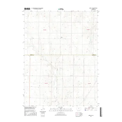
2015 Map of Jewell SE
USGS Topo · Published 2015About this map
Pleasant Prairie Cem stands as a central historical marker on this agricultural landscape along the boundary of Jewell and Mitchell Counties. The terrain is defined by a dendritic drainage pattern where intermittent streams such as Plum Cr and Little Cheyenne Cr carve through the north-central Kansas plains. The map reveals a strictly regulated section-line road grid, characteristic of the Public Land Survey System, with primary thoroughfares like Scottsville Rd and Charlene Ln providing the framework for rural transit. The presence of W Asher Cr and Dry Cr in the southern half of the sheet highlights the subtle elevation shifts that dictate the region's hydrology, offering a detailed look at the rural infrastructure and land divisions as they existed in the early 21st century.
Find a feature on this map
23 named features on this map. Tap any name to fly to it.
Don’t see what you’re looking for? This feature index may not catch every label — zoom into the map to look around manually.
Map Details
Editions of this 2015 Jewell SE Map
This is the sole edition of this map. No revisions or reprints were ever made.
Other maps of this area

1892 · Concordia
USGS Topo · 1:125,000

1892 · Minneapolis
USGS Topo · 1:125,000

1894 · Mankato
USGS Topo · 1:125,000

1894 · Beloit
USGS Topo · 1:125,000

1953 · Solomon Rapids
USGS Topo · 1:24,000

1953 · Simpson
USGS Topo · 1:24,000

1953 · Beloit
USGS Topo · 1:24,000

1955 · Manhattan
USGS Topo · 1:250,000

1955 · Beloit
USGS Topo · 1:250,000

1956 · Manhattan
USGS Topo · 1:250,000