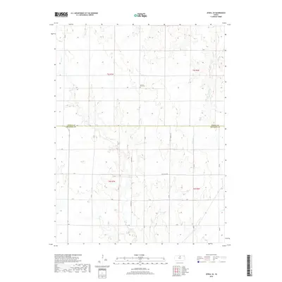
2018 Map of Jewell SE
USGS Topo · Published 2018About this map
Pleasant Prairie Cem stands as a central landmark in this rural landscape along the border of Jewell and Mitchell Counties. This 2018 survey illustrates the persistent agricultural grid of north-central Kansas, where a network of numbered roads like 210 Rd and named thoroughfares such as Scottsville Rd partition the high plains. The terrain is defined by the drainage patterns of several seasonal streams, including the winding course of Plum Cr and Little Cheyenne Cr. These waterways cut through the sections of t5s r7w and t6s r6w, creating the subtle relief that dictates the placement of local homesteads and farm roads. The map provides a clear view of the region's infrastructure, from the intersecting paths of Randall Rd to the quiet stretches along Dry Cr and W Asher Cr near the eastern boundary.
Find a feature on this map
25 named features on this map. Tap any name to fly to it.
Don’t see what you’re looking for? This feature index may not catch every label — zoom into the map to look around manually.
Map Details
Editions of this 2018 Jewell SE Map
This is the sole edition of this map. No revisions or reprints were ever made.
Other maps of this area

1892 · Concordia
USGS Topo · 1:125,000

1892 · Minneapolis
USGS Topo · 1:125,000

1894 · Mankato
USGS Topo · 1:125,000

1894 · Beloit
USGS Topo · 1:125,000

1953 · Solomon Rapids
USGS Topo · 1:24,000

1953 · Simpson
USGS Topo · 1:24,000

1953 · Beloit
USGS Topo · 1:24,000

1955 · Manhattan
USGS Topo · 1:250,000

1955 · Beloit
USGS Topo · 1:250,000

1956 · Manhattan
USGS Topo · 1:250,000