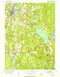
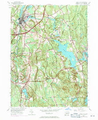
1953 Map of Jewett City
USGS Topo · Published 1955About this map
The Quinebaug River and Pachaug River converge at Jewett City, a historic mill town whose industrial character is defined by the proximity of Ashland Pond and the New York New Haven and Hartford railroad line. This mid-century survey reveals a landscape balanced between manufacturing centers and the extensive woodlands of the Pachaug State Forest. The prevalence of small water bodies like Glasgo Pond and Doaneville Pond supported smaller settlements such as Glasgo and Doaneville, which maintained their own local institutions like the Glasgo Sch.
Find a feature on this map
66 named features on this map. Tap any name to fly to it.
Don’t see what you’re looking for? This feature index may not catch every label — zoom into the map to look around manually.
Map Details
Editions of this 1953 Jewett City Map
5 editions found
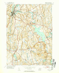
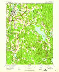
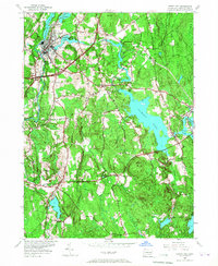
Other maps of this area

1889 · Stonington
USGS Topo · 1:62,500

1889 · Moosup
USGS Topo · 1:62,500

1892 · New London
USGS Topo · 1:62,500

1892 · Norwich
USGS Topo · 1:62,500

1893 · Moosup
USGS Topo · 1:62,500

1893 · Stonington
USGS Topo · 1:62,500

1893 · New London
USGS Topo · 1:62,500

1920 · Moosup
USGS Topo · 1:62,500

1921 · New London
USGS Topo · 1:62,500

1921 · Stonington
USGS Topo · 1:62,500