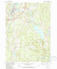
1984 Map of Jewett City
USGS Topo · Published 1987About this map
Jewett City serves as a focal point in the upper western corner of this map, where the Quinebaug River meets the Pachaug River. The landscape is a mosaic of water and wood, dominated by the expansive Pachaug Pond and the surrounding reaches of the Pachaug State Forest. The presence of numerous sand and gravel pits scattered through the terrain suggests a mid-century economy tied to local mineral resources. To the south, smaller agricultural and residential clusters like Preston City and Glasgo are connected by a network of rural roads such as Sheep Barn Rd. This area is characterized by several distinct peaks including Bay Mtn and Lambert Mtn, which define the drainage basins for Miller Brook and Ashwillet Brook. Local history is preserved in small family and parish sites like Reid Cem and Geer Cem, alongside the industrial legacy found at Clayville and Doaneville.
Find a feature on this map
64 named features on this map. Tap any name to fly to it.
Don’t see what you’re looking for? This feature index may not catch every label — zoom into the map to look around manually.
Map Details
Editions of this 1984 Jewett City Map
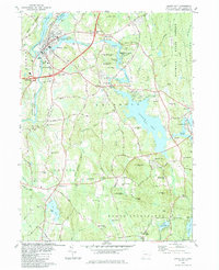
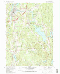
3 editions found
Other maps of this area

1889 · Stonington
USGS Topo · 1:62,500

1889 · Moosup
USGS Topo · 1:62,500

1892 · New London
USGS Topo · 1:62,500

1892 · Norwich
USGS Topo · 1:62,500

1893 · Moosup
USGS Topo · 1:62,500

1893 · Stonington
USGS Topo · 1:62,500

1893 · New London
USGS Topo · 1:62,500

1920 · Moosup
USGS Topo · 1:62,500

1921 · New London
USGS Topo · 1:62,500

1921 · Stonington
USGS Topo · 1:62,500