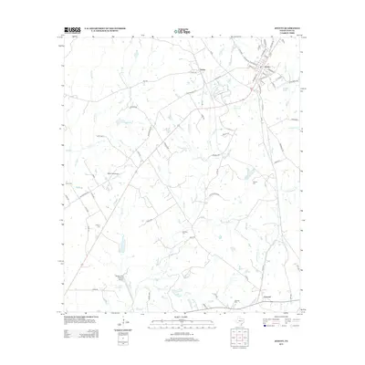
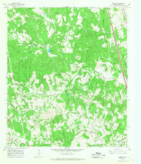
2013 Map of Jewett
USGS Topo · Published 2013About this map
The town of Jewett serves as the primary hub of this Leon County landscape, where a dense network of local roads and rail lines intersect. This 2013 survey illustrates a rural Texan environment defined by its creek systems, including the serpentine paths of Lower Keechi Cr and Little Brushy Cr. For genealogists, the map is particularly useful for locating family burial sites scattered across the countryside, such as Taylor Cem in the west, McMillin Cem near the center, and Burleson Cem to the south.
Find a feature on this map
78 named features on this map. Tap any name to fly to it.
Don’t see what you’re looking for? This feature index may not catch every label — zoom into the map to look around manually.
Map Details
Editions of this 2013 Jewett Map
This is the sole edition of this map. No revisions or reprints were ever made.
Other maps of this area
1925 · Marquez No. 1
USGS Topo · 1:48,000
1927 · Marquez
USGS Topo · 1:62,500
1930 · Marquez
USGS Topo · 1:62,500

1954 · Waco
USGS Topo · 1:250,000

1955 · Waco
USGS Topo · 1:250,000
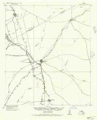
1956 · Jewett
USGS Topo · 1:62,500
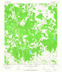
1964 · Spring Seat
USGS Topo · 1:24,000
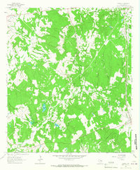
1964 · Margie
USGS Topo · 1:24,000
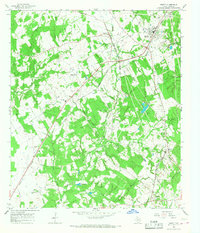
1965 · Jewett
USGS Topo · 1:24,000
1965 · Robbins
USGS Topo · 1:24,000