
1965 Map of Jewett
USGS Topo · Published 1967About this map
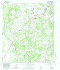
Jewett serves as the central hub of Leon County activity in the mid-1960s, defined by the convergence of the Missouri Pacific and the Chicago Rock Island and Pacific railroads. This intersection emphasizes the town’s role as a transit point for the region's resource-based economy, further evidenced by numerous Gravel Pits and various gas wells scattered across the landscape. The surrounding countryside is dotted with small community landmarks, including Independent Sch and Carver Sch, which anchor the rural population near Newby and Concord.
Find a feature on this map
37 named features on this map. Tap any name to fly to it.
Don’t see what you’re looking for? This feature index may not catch every label — zoom into the map to look around manually.
Map Details
Editions of this 1965 Jewett Map
2 editions found
Other maps of this area

1925 · Marquez No. 1
USGS Topo · 1:48,000

1927 · Marquez
USGS Topo · 1:62,500

1930 · Marquez
USGS Topo · 1:62,500

1954 · Waco
USGS Topo · 1:250,000

1955 · Waco
USGS Topo · 1:250,000

1956 · Jewett
USGS Topo · 1:62,500

1964 · Spring Seat
USGS Topo · 1:24,000

1964 · Margie
USGS Topo · 1:24,000
1965 · Robbins
USGS Topo · 1:24,000
1965 · Buffalo
USGS Topo · 1:24,000