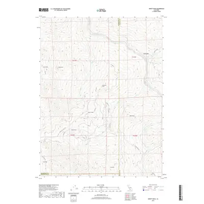
2018 Map of Jewett Rock
USGS Topo · Published 2018About this map
Kekawaka and the narrow corridor of the Eel River define this corner of Northern California where the boundaries of Humboldt, Trinity, and Mendocino counties meet. The landscape is dominated by significant relief, marked by named peaks such as Jewett Rock, Schroeder Rock, and Island Mtn. These geological landmarks rise above a network of waterways including Kekawaka Cr, Queatchumpah Cr, and Pipe Cr, which have historically dictated the placement of back-country roads.
Find a feature on this map
45 named features on this map. Tap any name to fly to it.
Don’t see what you’re looking for? This feature index may not catch every label — zoom into the map to look around manually.
Map Details
Editions of this 2018 Jewett Rock Map
This is the sole edition of this map. No revisions or reprints were ever made.
Other maps of this area

1920 · Cummings
USGS Topo · 1:62,500

1920 · Covelo
USGS Topo · 1:62,500

1920 · Harris
USGS Topo · 1:62,500

1921 · Hoaglin
USGS Topo · 1:62,500

1922 · Island Mountain
USGS Topo · 1:62,500

1931 · Hoaglin
USGS Topo · 1:96,000

1935 · Hoaglin
USGS Topo · 1:125,000

1949 · Alderpoint
USGS Topo · 1:62,500

1951 · Alderpoint
USGS Topo · 1:62,500

1952 · Spyrock
USGS Topo · 1:62,500