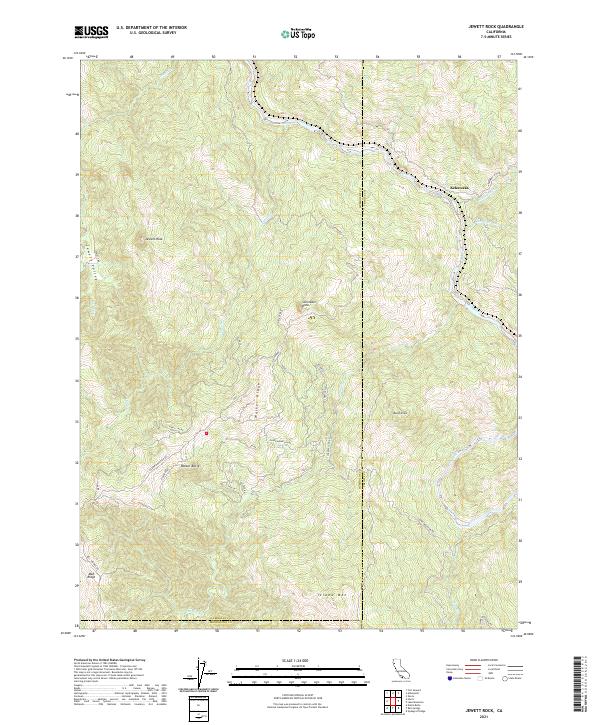
2021 Map of Jewett Rock
USGS Topo · Published 2021About this map
The Eel River carves a deep path through this section of the California Coast Ranges, marking the boundary where Humboldt and Trinity counties meet. The small settlement of Kekawaka sits near the river's bend in the northeast, where Kekawaka Cr and Queatchumpah Cr feed the main channel. The landscape is defined by its dramatic verticality, punctuated by massive formations such as Jewett Rock and Schroeder Rock.
Find a feature on this map
43 named features on this map. Tap any name to fly to it.
Don’t see what you’re looking for? This feature index may not catch every label — zoom into the map to look around manually.
Map Details
Editions of this 2021 Jewett Rock Map
This is the sole edition of this map. No revisions or reprints were ever made.
Other maps of this area

1920 · Cummings
USGS Topo · 1:62,500

1920 · Covelo
USGS Topo · 1:62,500

1920 · Harris
USGS Topo · 1:62,500

1921 · Hoaglin
USGS Topo · 1:62,500

1922 · Island Mountain
USGS Topo · 1:62,500

1931 · Hoaglin
USGS Topo · 1:96,000

1935 · Hoaglin
USGS Topo · 1:125,000

1949 · Alderpoint
USGS Topo · 1:62,500

1951 · Alderpoint
USGS Topo · 1:62,500

1952 · Spyrock
USGS Topo · 1:62,500