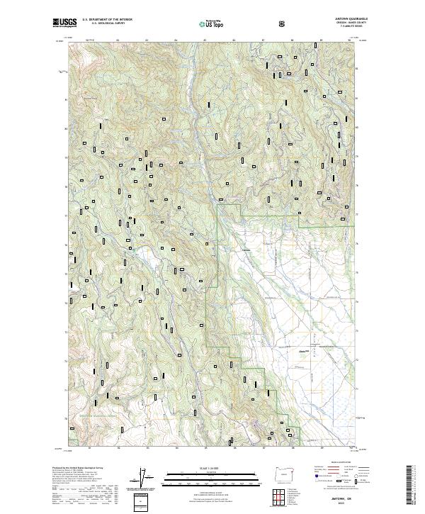
2023 Map of Jimtown
USGS Topo · Published 2023About this map
Pine Valley serves as a primary geographic focus in this Baker County survey, where the settlements of Carson and Jimtown anchor the local community. The landscape is defined by an extensive network of water management and natural drainage, including Brooks Ditch, Posy Valley Ditch, and Mining Channel, reflecting the area's agricultural and industrial history. To the south, the Whitman National Forest and the Eagle Creek Wild and Scenic River represent significant protected natural resources.
Find a feature on this map
58 named features on this map. Tap any name to fly to it.
Don’t see what you’re looking for? This feature index may not catch every label — zoom into the map to look around manually.
Map Details
Editions of this 2023 Jimtown Map
This is the sole edition of this map. No revisions or reprints were ever made.
Other maps of this area

1915 · Pine
USGS Topo · 1:125,000

1954 · Cornucopia
USGS Topo · 1:62,500

1954 · Eagle Cap
USGS Topo · 1:62,500

1955 · Baker
USGS Topo · 1:250,000

1955 · Grangeville
USGS Topo · 1:250,000

1957 · Halfway
USGS Topo · 1:62,500

1957 · Sparta
USGS Topo · 1:62,500

1959 · Baker
USGS Topo · 1:250,000

1959 · Grangeville
USGS Topo · 1:250,000

1981 · Baker
USGS Topo · 1:100,000