
1952 Map of Jo-Mary Mountain
USGS Topo · Published 1953About this map
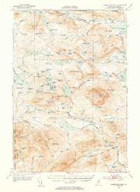
The Appalachian Trail winds through this central Maine wilderness, connecting high peaks and remote water bodies in the early 1950s. Elevation is the defining characteristic of this terrain, anchored by the massive presence of Jo-Mary Mtn and Big Shanty Mtn. Strategic vantage points are maintained at the Wadleigh Lookout Tower and White Cap Mtn Lookout Tower, serving as essential outposts for forestry management in a region dominated by township divisions like T 1 R 11 and T B R 10.
Find a feature on this map
111 named features on this map. Tap any name to fly to it.
Don’t see what you’re looking for? This feature index may not catch every label — zoom into the map to look around manually.
Map Details
Editions of this 1952 Jo-Mary Mountain Map
5 editions found

Other maps of this area

1927 · Katahdin
USGS Topo · 1:48,000

1930 · Katahdin
USGS Topo · 1:62,500

1940 · Sebec
USGS Topo · 1:48,000

1943 · Sebec
USGS Topo · 1:62,500

1947 · Schoodic
USGS Topo · 1:62,500

1949 · Schoodic
USGS Topo · 1:62,500

1949 · Katahdin
USGS Topo · 1:62,500

1950 · Sebec Lake
USGS Topo · 1:62,500

1951 · Norcross
USGS Topo · 1:62,500

1952 · First Roach Pond
USGS Topo · 1:62,500