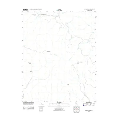
2012 Map of Joaquin Rocks
USGS Topo · Published 2012About this map
Joaquin Rocks dominate this high-desert landscape in Fresno County, where a network of seasonal springs and rugged canyons defines the terrain. The 2012 survey illustrates a region shaped by complex geology, featuring Anticline Ridge and Black Mountain alongside the high Big Blue Hills. This area is characterized by numerous water sources critical to the local environment, including Joaquin Spring, Rattlesnake Spring, and Mare Spring. Cultural markers are sparse but significant, with S Joaquin Ridge Lookout Rd and Joaquin Rocks Lookout Rd providing access to these elevated vantages. The presence of features like Donut Rock and named drainages such as Domengine Cr suggest a landscape used by ranchers and hikers, where every named spring and canyon, like Portuguese Canyon, represents a vital landmark in an otherwise arid expanse.
Find a feature on this map
29 named features on this map. Tap any name to fly to it.
Don’t see what you’re looking for? This feature index may not catch every label — zoom into the map to look around manually.
Map Details
Editions of this 2012 Joaquin Rocks Map
This is the sole edition of this map. No revisions or reprints were ever made.
Other maps of this area

1912 · Coalinga
USGS Topo · 1:125,000

1915 · Priest Valley
USGS Topo · 1:125,000

1931 · Mouth of Cantua Creek
USGS Topo · 1:31,680

1941 · Priest Valley
USGS Topo · 1:62,500

1943 · New Idria
USGS Topo · 1:62,500

1943 · Joaquin Rocks
USGS Topo · 1:62,500
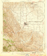
1944 · Coalinga
USGS Topo · 1:62,500

1944 · Priest Valley
USGS Topo · 1:62,500

1948 · Santa Cruz
USGS Topo · 1:250,000

1955 · Santa Cruz
USGS Topo · 1:250,000