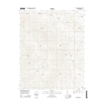
2015 Map of Joaquin Rocks
USGS Topo · Published 2015About this map
Joaquin Rocks towers over a landscape of steep canyons and ridges within the Diablo Range in Fresno County. This 2015 survey details the complex topography of the western edge of the San Joaquin Valley, where the land rises sharply into Anticline Ridge and Joaquin Ridge. The drainage patterns are defined by seasonal watercourses like Martinez Cr and Domengine Cr, which have carved out deep features such as Portuguese Canyon and Horsethief Canyon.
Find a feature on this map
39 named features on this map. Tap any name to fly to it.
Don’t see what you’re looking for? This feature index may not catch every label — zoom into the map to look around manually.
Map Details
Editions of this 2015 Joaquin Rocks Map
This is the sole edition of this map. No revisions or reprints were ever made.
Other maps of this area

1912 · Coalinga
USGS Topo · 1:125,000

1915 · Priest Valley
USGS Topo · 1:125,000

1931 · Mouth of Cantua Creek
USGS Topo · 1:31,680

1941 · Priest Valley
USGS Topo · 1:62,500

1943 · New Idria
USGS Topo · 1:62,500

1943 · Joaquin Rocks
USGS Topo · 1:62,500
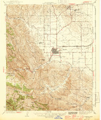
1944 · Coalinga
USGS Topo · 1:62,500

1944 · Priest Valley
USGS Topo · 1:62,500

1948 · Santa Cruz
USGS Topo · 1:250,000

1955 · Santa Cruz
USGS Topo · 1:250,000