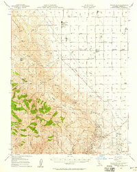
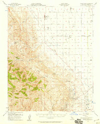
1956 Map of Joaquin Rocks
USGS Topo · Published 1958About this map
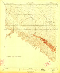
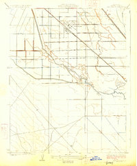
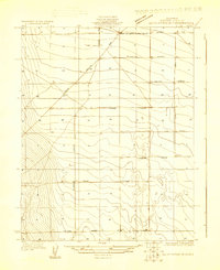
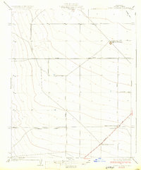
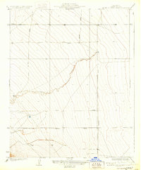
Joaquin Rocks and the craggy peaks of Joaquin Ridge anchor the southern portion of this mid-century Fresno County landscape. The terrain transitions from the high elevations of Black Mtn and the Ciervo Hills down into the intensive agricultural and industrial zones of the valley floor. To the south, the Coalinga Oil Field and the East Coalinga Extension Oil Field show the region's energy footprint, while the northern plains are dominated by large-scale agricultural operations. Named holdings such as Giffen Cantua Ranch, Lillis Ranch, and Tres Picos Farms illustrate the pattern of land ownership and labor during this era. The map also records several labor camps and localized features like The Clearing and Skunk Hollow, providing a detailed look at the rural infrastructure supporting the valley's cattle and petroleum economies.
Find a feature on this map
49 named features on this map. Tap any name to fly to it.
Don’t see what you’re looking for? This feature index may not catch every label — zoom into the map to look around manually.
Map Details
Editions of this 1956 Joaquin Rocks Map
2 editions found
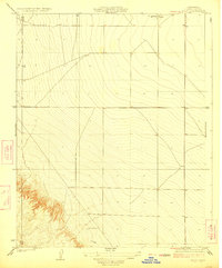
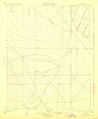
Other maps of this area

1912 · Coalinga
USGS Topo · 1:125,000

1913 · Panoche
USGS Topo · 1:125,000

1915 · Priest Valley
USGS Topo · 1:125,000
1923 · Levis
USGS Topo · 1:31,680
1923 · Englebrecht Ranch
USGS Topo · 1:31,680
1923 · Monocline Ridge
USGS Topo · 1:31,680
1925 · San Joaquin
USGS Topo · 1:31,680
1928 · Delta Farms No 3
USGS Topo · 1:31,680
1931 · Towne Oil Station
USGS Topo · 1:31,680
1931 · Mouth of Cantua Creek
USGS Topo · 1:31,680