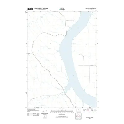
2012 Map of Joe Creek NW
USGS Topo · Published 2012About this map
Lake Sharpe dominates this portion of the Missouri River valley, where the reservoir's expansive waters define the landscape of the Big Bend District. The western shore is dissected by a series of drainages, including LaRoche Cr, First Cr, and Straight Cr, reflecting the complex topography of the high plains. A notable cultural landmark is the Holy Faith Cem, located near the southern extent of the map near the winding path of Cedar Cr. The settlement pattern is sparse, represented by isolated locations such as Clark Ranch in the north. The road network, including Wakpa PL and Co Line RD, provides access across the open terrain, connecting the upland areas to the river's edge. This 2012 survey illustrates the modern configuration of the shoreline and the persistent rural character of the Hughes County region.
Find a feature on this map
17 named features on this map. Tap any name to fly to it.
Don’t see what you’re looking for? This feature index may not catch every label — zoom into the map to look around manually.
Map Details
Editions of this 2012 Joe Creek NW Map
This is the sole edition of this map. No revisions or reprints were ever made.
Other maps of this area

1934 · Canning
USGS Topo · 1:48,000

1937 · Canning
USGS Topo · 1:62,500

1953 · Huron
USGS Topo · 1:250,000

1954 · Pierre
USGS Topo · 1:250,000

1954 · Huron
USGS Topo · 1:250,000

1958 · Pierre
USGS Topo · 1:250,000

1966 · Joe Creek
USGS Topo · 1:24,000

1966 · Ft. George Butte SE
USGS Topo · 1:24,000

1966 · Joe Creek NW
USGS Topo · 1:24,000

1966 · Joe Creek SE
USGS Topo · 1:24,000