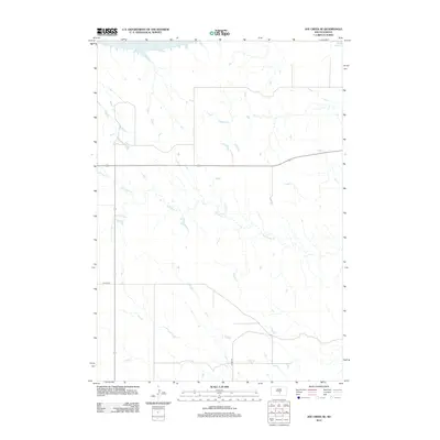
2012 Map of Joe Creek SE
USGS Topo · Published 2012About this map
Lake Sharpe dominates the northern boundary of this high plains landscape, a reservoir created by the damming of the Missouri River. The terrain south of the water is defined by the drainage of Bad Horse Creek, which meanders southeast across a vast, open prairie. This 2012 survey illustrates a sparsely populated section of central South Dakota where the grid of modern section roads meets the natural contours of the river breaks. Transport across the territory is served by North-South and East-West corridors including Co Hwy-23 and Co Hwy-30, providing critical links between the remote ranchlands and the Missouri River basin.
Find a feature on this map
6 named features on this map. Tap any name to fly to it.
Don’t see what you’re looking for? This feature index may not catch every label — zoom into the map to look around manually.
Map Details
Editions of this 2012 Joe Creek SE Map
This is the sole edition of this map. No revisions or reprints were ever made.
Other maps of this area

1953 · Huron
USGS Topo · 1:250,000

1954 · Huron
USGS Topo · 1:250,000

1955 · Mitchell
USGS Topo · 1:250,000

1959 · Mitchell
USGS Topo · 1:250,000

1966 · Lower Brule NW
USGS Topo · 1:24,000

1966 · Joe Creek
USGS Topo · 1:24,000

1966 · Joe Creek NW
USGS Topo · 1:24,000

1966 · Lower Brule SW
USGS Topo · 1:24,000

1966 · Joe Creek SE
USGS Topo · 1:24,000
1966 · Joe Creek SW
USGS Topo · 1:24,000