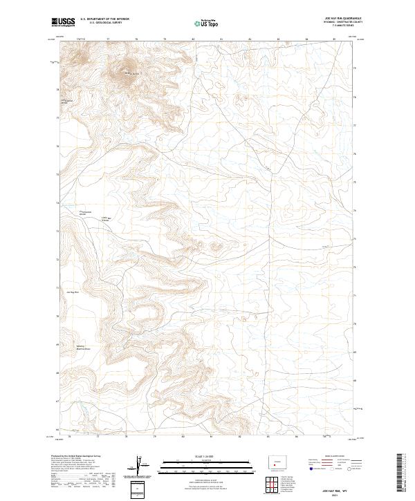
2021 Map of Joe Hay Rim
USGS Topo · Published 2021About this map
Oregon Buttes dominate the northern landscape of this Sweetwater County survey, marking a significant high point along the Continental Divide. This area is characterized by dramatic topographic shifts and dry drainage basins, where water features are defined by seasonal draws and creeks. The namesake Joe Hay Rim stretches across the southwestern quadrant, providing a distinct geological boundary that overlooks lower terrain to the south.
Find a feature on this map
14 named features on this map. Tap any name to fly to it.
Don’t see what you’re looking for? This feature index may not catch every label — zoom into the map to look around manually.
Map Details
Editions of this 2021 Joe Hay Rim Map
This is the sole edition of this map. No revisions or reprints were ever made.
Other maps of this area

1955 · Lander
USGS Topo · 1:250,000

1958 · Lander
USGS Topo · 1:250,000

1958 · Pacific Springs
USGS Topo · 1:24,000

1958 · Freighter Gap
USGS Topo · 1:62,500

1958 · The Pinnacles
USGS Topo · 1:62,500

1958 · Dickie Springs
USGS Topo · 1:24,000

1958 · Continental Peak
USGS Topo · 1:24,000

1961 · Lander
USGS Topo · 1:250,000
1984 · South Pass
USGS Topo · 1:100,000
1986 · Joe Hay Rim
USGS Topo · 1:24,000