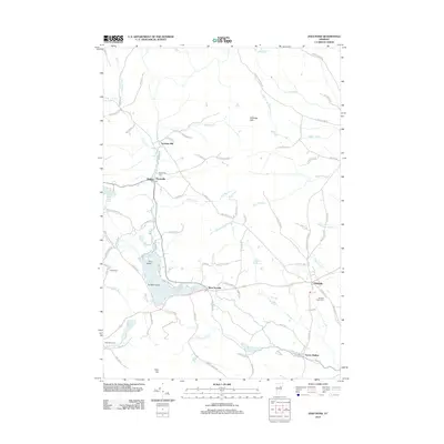
2012 Map of Joes Pond
USGS Topo · Published 2012About this map
Joes Pond and Mollys Pond define the central hydrologic character of this Vermont landscape, surrounded by a network of small settlements and family-named roads. The village of Danville sits in the east, while smaller clusters like West Danville, Noyesville, and Nevesville are linked by thoroughfares such as the Bruce Badger Memorial and Walden Hill Rd. The industrial and agricultural legacy of the area is represented by Goslants Mill and numerous outlying farms.
Find a feature on this map
88 named features on this map. Tap any name to fly to it.
Don’t see what you’re looking for? This feature index may not catch every label — zoom into the map to look around manually.
Map Details
Editions of this 2012 Joes Pond Map
This is the sole edition of this map. No revisions or reprints were ever made.
Other maps of this area

1928 · Hardwick
USGS Topo · 1:62,500

1934 · Hardwick
USGS Topo · 1:48,000

1935 · Lyndonville
USGS Topo · 1:48,000

1938 · Hardwick
USGS Topo · 1:62,500

1938 · St. Johnsbury
USGS Topo · 1:48,000

1939 · Lyndonville
USGS Topo · 1:62,500

1939 · Plainfield
USGS Topo · 1:48,000

1940 · Plainfield
USGS Topo · 1:62,500

1943 · Plainfield
USGS Topo · 1:62,500

1943 · St. Johnsbury
USGS Topo · 1:62,500