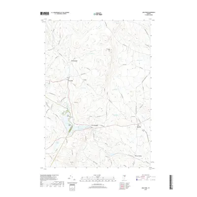
2018 Map of Joes Pond
USGS Topo · Published 2018About this map
Joes Pond sits at the heart of this landscape on the border of Washington and Caledonia counties, where the islands of Sunken Island and Tara Island break the water's surface. The settlement of West Danville clusters at the eastern edge of the pond, serving as a gateway to the broader highlands. To the north and south, the terrain is marked by Kittredge Hills and Cow Hill, with numerous brooks such as Morrill Brook and Joes Brook draining the wooded slopes.
Find a feature on this map
84 named features on this map. Tap any name to fly to it.
Don’t see what you’re looking for? This feature index may not catch every label — zoom into the map to look around manually.
Map Details
Editions of this 2018 Joes Pond Map
This is the sole edition of this map. No revisions or reprints were ever made.
Other maps of this area

1928 · Hardwick
USGS Topo · 1:62,500

1934 · Hardwick
USGS Topo · 1:48,000

1935 · Lyndonville
USGS Topo · 1:48,000

1938 · Hardwick
USGS Topo · 1:62,500

1938 · St. Johnsbury
USGS Topo · 1:48,000

1939 · Lyndonville
USGS Topo · 1:62,500

1939 · Plainfield
USGS Topo · 1:48,000

1940 · Plainfield
USGS Topo · 1:62,500

1943 · Plainfield
USGS Topo · 1:62,500

1943 · St. Johnsbury
USGS Topo · 1:62,500