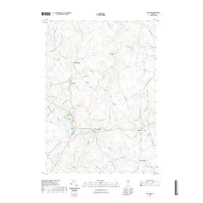
2021 Map of Joes Pond
USGS Topo · Published 2021About this map
Joes Pond and its intricate shoreline, including Tara Island and Sunken Island, define the central landscape of this Caledonia County region. The terrain is marked by significant elevations like Stevens Hill and the Kittredge Hills, where small headwater streams such as Rock Brook and Badger Brook begin their descent. The village of Danville serves as a primary hub, while smaller clusters like Nevesville and the industrial site at Goslants Mill reflect the area's rural character.
Find a feature on this map
86 named features on this map. Tap any name to fly to it.
Don’t see what you’re looking for? This feature index may not catch every label — zoom into the map to look around manually.
Map Details
Editions of this 2021 Joes Pond Map
This is the sole edition of this map. No revisions or reprints were ever made.
Other maps of this area

1928 · Hardwick
USGS Topo · 1:62,500

1934 · Hardwick
USGS Topo · 1:48,000

1935 · Lyndonville
USGS Topo · 1:48,000

1938 · Hardwick
USGS Topo · 1:62,500

1938 · St. Johnsbury
USGS Topo · 1:48,000

1939 · Lyndonville
USGS Topo · 1:62,500

1939 · Plainfield
USGS Topo · 1:48,000

1940 · Plainfield
USGS Topo · 1:62,500

1943 · Plainfield
USGS Topo · 1:62,500

1943 · St. Johnsbury
USGS Topo · 1:62,500