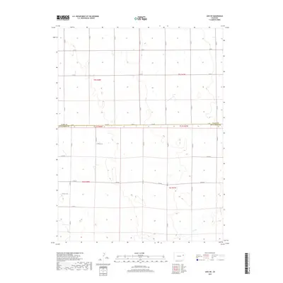
2019 Map of Joes SW
USGS Topo · Published 2019About this map
Hell Cr meanders through the southern portion of this high plains landscape, defining the primary drainage for an area otherwise dominated by the rigid geometry of the Public Land Survey System. Situated on the border where Yuma Co meets Kit Carson Co, the terrain is etched with a dense network of section-line roads, including Co Rd D and Co Rd 3, which reflect the enduring agricultural layout of eastern Colorado. This 2019 survey documents the precise intersections of local transit corridors such as Co Rd RR and Co Rd MM, providing a detailed look at the rural infrastructure and land divisions that have sustained this prairie region for generations. The topographic contours reveal a gently undulating surface, where subtle elevation changes dictate the flow of seasonal runoff toward the primary creek bed.
Find a feature on this map
31 named features on this map. Tap any name to fly to it.
Don’t see what you’re looking for? This feature index may not catch every label — zoom into the map to look around manually.
Map Details
Editions of this 2019 Joes SW Map
This is the sole edition of this map. No revisions or reprints were ever made.
Other maps of this area

1954 · Limon
USGS Topo · 1:250,000

1957 · Limon
USGS Topo · 1:250,000

1958 · Limon
USGS Topo · 1:250,000

1968 · Joes
USGS Topo · 1:24,000

1968 · Adler Creek
USGS Topo · 1:24,000

1969 · Tuttle
USGS Topo · 1:24,000

1969 · Kirk
USGS Topo · 1:24,000

1977 · Cope
USGS Topo · 1:24,000

1977 · Cope SE
USGS Topo · 1:24,000
1978 · Joes SW
USGS Topo · 1:24,000