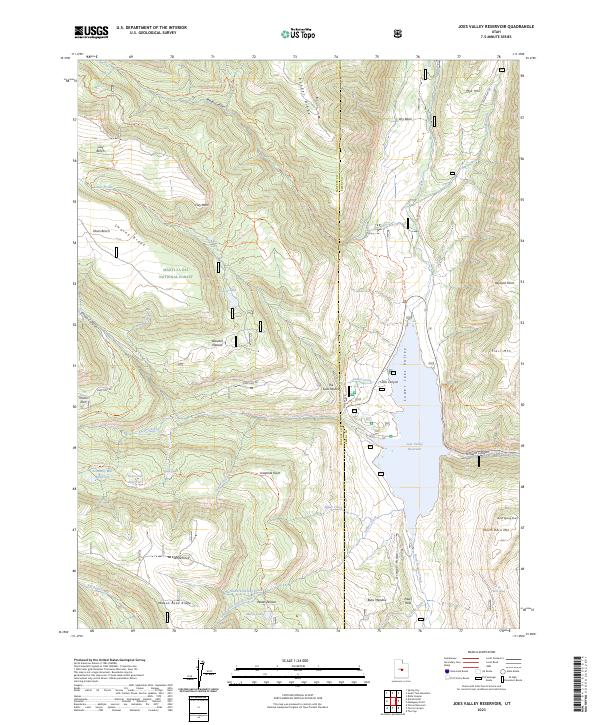
2023 Map of Joes Valley Reservoir
USGS Topo · Published 2023About this map
Joes Valley Reservoir dominates this high-altitude landscape where the Wasatch Plateau transitions into the rugged drainage systems of Lower Joes Valley. Positioned within the Manti-La Sal National Forest, this 2023 survey illustrates the critical water infrastructure and recreational network of the Sanpete and Emery county border. The map details a complex system of mountain transit, from the engineered geometry of The Switchbacks on State Rte 29 to historical routes like Wagon Road Ridge. High-country water features such as Academy Mill Reservoir, Blue Lake, and Marys Lake are shown alongside prominent summits like Trail Mtn and North Horn Mtn, providing a modern view of a region defined by its timber, water, and grazing history.
Find a feature on this map
62 named features on this map. Tap any name to fly to it.
Don’t see what you’re looking for? This feature index may not catch every label — zoom into the map to look around manually.
Map Details
Editions of this 2023 Joes Valley Reservoir Map
This is the sole edition of this map. No revisions or reprints were ever made.
Other maps of this area

1885 · Manti
USGS Topo · 1:250,000

1895 · Manti
USGS Topo · 1:250,000

1922 · Wasatch
USGS Topo · 1:31,680

1923 · Castle Dale
USGS Topo · 1:62,500

1923 · Hiawatha
USGS Topo · 1:62,500

1925 · Castle Dale
USGS Topo · 1:62,500

1925 · Hiawatha
USGS Topo · 1:62,500

1956 · Price
USGS Topo · 1:250,000

1960 · Price
USGS Topo · 1:250,000

1962 · Price
USGS Topo · 1:250,000