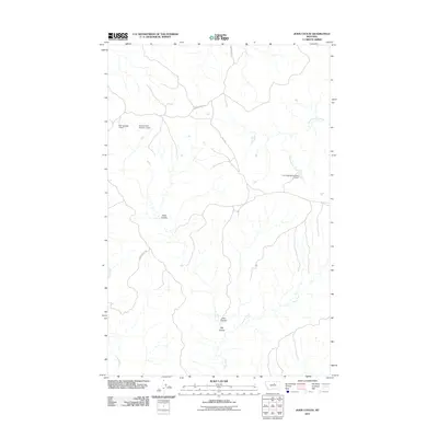
2011 Map of John Coulee
USGS Topo · Published 2011About this map
John Coulee and Buck Coulee define this stretch of Montana's landscape as it appeared in the early 21st century. The topography is marked by a complex network of seasonal drainages and man-made water management features, including the Fort Belknap Number 21 Dam and Noel Number 1 Dam. These reservoirs and dams indicate the vital importance of water storage in this arid region of Blaine County, supporting local ranching and agricultural needs.
Find a feature on this map
12 named features on this map. Tap any name to fly to it.
Don’t see what you’re looking for? This feature index may not catch every label — zoom into the map to look around manually.
Map Details
Editions of this 2011 John Coulee Map
This is the sole edition of this map. No revisions or reprints were ever made.
Other maps of this area

1943 · Landusky
USGS Topo · 1:125,000

1953 · Havre
USGS Topo · 1:250,000

1954 · Cow Island
USGS Topo · 1:24,000

1954 · Sturgeon Island
USGS Topo · 1:24,000

1954 · Lewistown
USGS Topo · 1:250,000

1956 · Rattlesnake
USGS Topo · 1:62,500

1957 · Havre
USGS Topo · 1:250,000

1958 · Havre
USGS Topo · 1:250,000

1959 · Lewistown
USGS Topo · 1:250,000

1971 · Crazyman Coulee
USGS Topo · 1:24,000