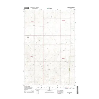
2014 Map of John Coulee
USGS Topo · Published 2014About this map
John Coulee and its neighboring drainage systems define this landscape along the border of Blaine and Phillips counties. The topography is shaped by a series of deep depressions and watercourses, including Buck Coulee and Hay Coulee, which cut through the high plains of northern Montana. These features illustrate the complex erosional patterns typical of the region, where seasonal water flow from Little Suction Cr, Squaw Cr, and Cow Cr has carved significant relief into the terrain. The road network, consisting of Barney Olson Rd, Hays Rd, and ridge routes like Timber Ridge Rd, follows the natural contours of the land, providing access between the coulees. This 2014 survey records the traditional land divisions and remote access points in a sparsely populated section of the Hays District.
Find a feature on this map
15 named features on this map. Tap any name to fly to it.
Don’t see what you’re looking for? This feature index may not catch every label — zoom into the map to look around manually.
Map Details
Editions of this 2014 John Coulee Map
This is the sole edition of this map. No revisions or reprints were ever made.
Other maps of this area

1943 · Landusky
USGS Topo · 1:125,000

1953 · Havre
USGS Topo · 1:250,000

1954 · Cow Island
USGS Topo · 1:24,000

1954 · Sturgeon Island
USGS Topo · 1:24,000

1954 · Lewistown
USGS Topo · 1:250,000

1956 · Rattlesnake
USGS Topo · 1:62,500

1957 · Havre
USGS Topo · 1:250,000

1958 · Havre
USGS Topo · 1:250,000

1959 · Lewistown
USGS Topo · 1:250,000

1971 · Crazyman Coulee
USGS Topo · 1:24,000