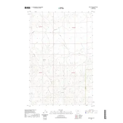
2020 Map of John Coulee
USGS Topo · Published 2020About this map
John Coulee and its neighboring ravines define this section of the northern Montana landscape near the Blaine and Phillips County line. In a region where water sources dictate movement and land use, ephemeral drainages like Little Suction Cr and Kills At Night Cr carve deep paths through the high plains. The map illustrates a remote grazing or wilderness area primarily accessed by a handful of high-clearance routes, including Timber Ridge Rd and Spencer Ridge Rd, which follow the natural contours of the elevated land. The presence of Buck Coulee and Hay Coulee further highlights the broken terrain that characterizes this portion of the Hays District. These geographic labels reveal a landscape shaped by indigenous history and early ranching life, where named watercourses and ridges serve as the primary landmarks in an otherwise open country.
Find a feature on this map
14 named features on this map. Tap any name to fly to it.
Don’t see what you’re looking for? This feature index may not catch every label — zoom into the map to look around manually.
Map Details
Editions of this 2020 John Coulee Map
This is the sole edition of this map. No revisions or reprints were ever made.
Other maps of this area

1943 · Landusky
USGS Topo · 1:125,000

1953 · Havre
USGS Topo · 1:250,000

1954 · Cow Island
USGS Topo · 1:24,000

1954 · Sturgeon Island
USGS Topo · 1:24,000

1954 · Lewistown
USGS Topo · 1:250,000

1956 · Rattlesnake
USGS Topo · 1:62,500

1957 · Havre
USGS Topo · 1:250,000

1958 · Havre
USGS Topo · 1:250,000

1959 · Lewistown
USGS Topo · 1:250,000

1971 · Crazyman Coulee
USGS Topo · 1:24,000