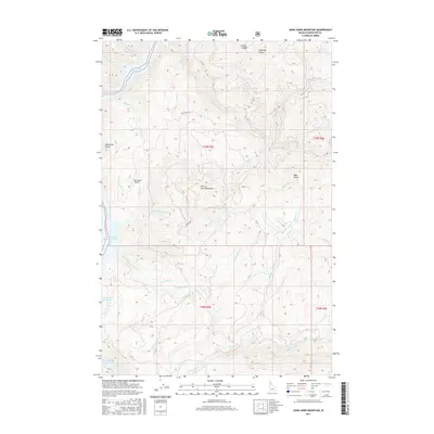
2017 Map of John Lewis Mountain
USGS Topo · Published 2017About this map
John Lewis Mountain dominates the central landscape of this Idaho interior, overlooking a complex network of canyons and drainages that feed into the eastern reaches of the Dworshak Reservoir. The topography is defined by high ridges like Lightning Points and Bear Butte, where the drainages of Boathouse Cr and Reeds Cr have carved deep incisions into the Clearwater County terrain. In this modern era, the landscape reflects a balance between timber access and aeronautical infrastructure, notably at the Big Island Airport located near the reservoir's edge. Access into this steep country is maintained via specialized forest routes including Bog Island Rd and Petri Blvd. This 2017 survey details the hydrological system of the North and South forks of Big Cr, illustrating how the watershed funnels into the expansive reservoir behind the Dworshak Dam.
Find a feature on this map
33 named features on this map. Tap any name to fly to it.
Don’t see what you’re looking for? This feature index may not catch every label — zoom into the map to look around manually.
Map Details
Editions of this 2017 John Lewis Mountain Map
This is the sole edition of this map. No revisions or reprints were ever made.
Other maps of this area

1923 · Washington Creek
USGS Topo · 1:125,000

1936 · Boehls Butte
USGS Topo · 1:48,000

1938 · Headquarters
USGS Topo · 1:48,000

1943 · Boehls Butte
USGS Topo · 1:62,500

1944 · Headquarters
USGS Topo · 1:62,500

1955 · Pullman
USGS Topo · 1:250,000

1956 · Hamilton
USGS Topo · 1:250,000

1958 · Pullman
USGS Topo · 1:250,000

1959 · Hamilton
USGS Topo · 1:250,000

1960 · Hamilton
USGS Topo · 1:250,000