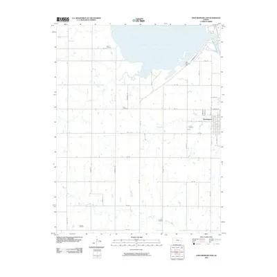
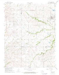
2009 Map of John Redmond Dam
USGS Topo · Published 2009About this map
The John Redmond Reservoir dominates this portion of the Kansas landscape, held in place by the massive engineering of the John Redmond Dam. This late-century survey illustrates the managed water systems of Coffey County, showing how the reservoir reshaped the drainage of Otter Creek and nearby tributaries. To the southeast, the street grid of Burlington appears along with several smaller family and community burial grounds that predate the reservoir's expansion. These sites, including Bailey Cemetery, Baker Cemetery, and Teachout Cemetery, serve as vital landmarks for genealogists tracing early families in the region. The landscape is further defined by a meticulous grid of rural routes like Garner Rd and Kafir Rd, which navigate the riparian corridors of North Big Creek and Rock Creek.
Find a feature on this map
38 named features on this map. Tap any name to fly to it.
Don’t see what you’re looking for? This feature index may not catch every label — zoom into the map to look around manually.
Map Details
Editions of this 2009 John Redmond Dam Map
This is the sole edition of this map. No revisions or reprints were ever made.
Other maps of this area

1885 · Burlington
USGS Topo · 1:125,000

1894 · Burlington
USGS Topo · 1:125,000

1947 · Lawrence
USGS Topo · 1:250,000

1950 · Lawrence
USGS Topo · 1:250,000

1956 · Lawrence
USGS Topo · 1:250,000

1961 · Lawrence
USGS Topo · 1:250,000
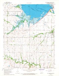
1966 · John Redmond Dam
USGS Topo · 1:24,000
1967 · Gridley SE
USGS Topo · 1:24,000
1967 · Gridley NW
USGS Topo · 1:24,000
1967 · Gridley
USGS Topo · 1:24,000