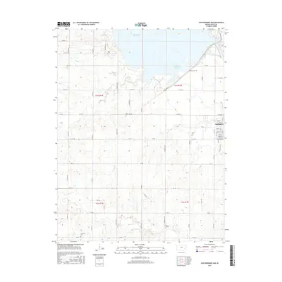
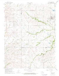
2015 Map of John Redmond Dam
USGS Topo · Published 2015About this map
The John Redmond Dam and its corresponding John Redmond Reservoir dominate the northern landscape of this Coffey County region, where the Neosho River was harnessed for flood control and water management. To the east, the city of Burlington is mapped in detail, showing a clear grid of residential streets such as Hudson St, Mohawk St, and Housatonic St situated just downstream of the impoundment.
Find a feature on this map
46 named features on this map. Tap any name to fly to it.
Don’t see what you’re looking for? This feature index may not catch every label — zoom into the map to look around manually.
Map Details
Editions of this 2015 John Redmond Dam Map
This is the sole edition of this map. No revisions or reprints were ever made.
Other maps of this area

1885 · Burlington
USGS Topo · 1:125,000

1894 · Burlington
USGS Topo · 1:125,000

1947 · Lawrence
USGS Topo · 1:250,000

1950 · Lawrence
USGS Topo · 1:250,000

1956 · Lawrence
USGS Topo · 1:250,000

1961 · Lawrence
USGS Topo · 1:250,000
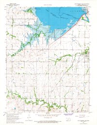
1966 · John Redmond Dam
USGS Topo · 1:24,000
1967 · Gridley SE
USGS Topo · 1:24,000
1967 · Gridley NW
USGS Topo · 1:24,000
1967 · Gridley
USGS Topo · 1:24,000