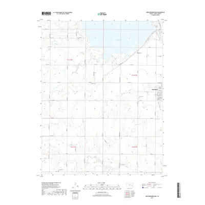
2018 Map of John Redmond Dam
USGS Topo · Published 2018About this map
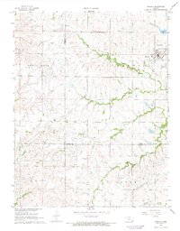
The John Redmond Reservoir and the Neosho River valley dominate this landscape in Coffey County, showing the intersection of major water management and rural settlement. The northern reach of Burlington appears at the eastern edge, with a detailed street grid including Niagara St and Neosho St south of Rock Cr. The topography reveals how the reservoir, held by the John Redmond Dam, has reshaped the local drainage patterns of Buffalo Cr and Otter Cr. For family historians, the sheet is particularly valuable for its documentation of small rural burial grounds scattered across the townships, such as Bailey Cem in the north, Baker Cem near the center, and Teachout Cem and Cola Hill Cem further south. These sites, along with Calvary Cem near the town limits, provide essential anchors for tracing lineage in this part of Kansas.
Find a feature on this map
46 named features on this map. Tap any name to fly to it.
Don’t see what you’re looking for? This feature index may not catch every label — zoom into the map to look around manually.
Map Details
Editions of this 2018 John Redmond Dam Map
This is the sole edition of this map. No revisions or reprints were ever made.
Other maps of this area

1885 · Burlington
USGS Topo · 1:125,000

1894 · Burlington
USGS Topo · 1:125,000

1947 · Lawrence
USGS Topo · 1:250,000

1950 · Lawrence
USGS Topo · 1:250,000

1956 · Lawrence
USGS Topo · 1:250,000

1961 · Lawrence
USGS Topo · 1:250,000
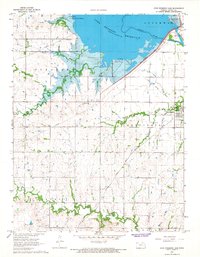
1966 · John Redmond Dam
USGS Topo · 1:24,000
1967 · Gridley SE
USGS Topo · 1:24,000
1967 · Gridley NW
USGS Topo · 1:24,000
1967 · Gridley
USGS Topo · 1:24,000