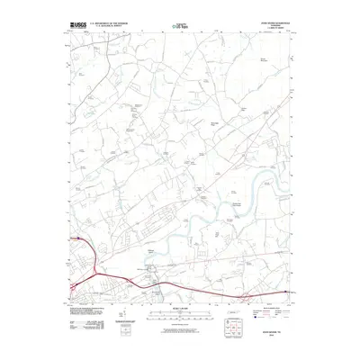
2010 Map of John Sevier
USGS Topo · Published 2010About this map
The Holston River winds through this landscape northeast of Knoxville, defining a territory marked by numerous family burial grounds and historical river crossings. Notable landmarks include the Knox County Penal Farm and the curiously named Old Poor Farm Cemetery, reflecting the area's institutional history. The river itself features Double Fish Trap Shoals and Armstrongs Ford, alongside islands like Cabbage Island and Armstrong Island that speak to the long-standing use of these waters.
Find a feature on this map
126 named features on this map. Tap any name to fly to it.
Don’t see what you’re looking for? This feature index may not catch every label — zoom into the map to look around manually.
Map Details
Editions of this 2010 John Sevier Map
This is the sole edition of this map. No revisions or reprints were ever made.
Other maps of this area

1886 · Knoxville
USGS Topo · 1:125,000

1892 · Knoxville
USGS Topo · 1:125,000

1894 · Knoxville
USGS Topo · 1:125,000

1895 · Knoxville
USGS Topo · 1:125,000

1897 · Maynardville
USGS Topo · 1:125,000

1900 · Maynardville
USGS Topo · 1:125,000

1901 · Knoxville
USGS Topo · 1:125,000

1935 · Luttrell
USGS Topo · 1:24,000

1935 · Mascot
USGS Topo · 1:24,000

1935 · Knoxville
USGS Topo · 1:48,000