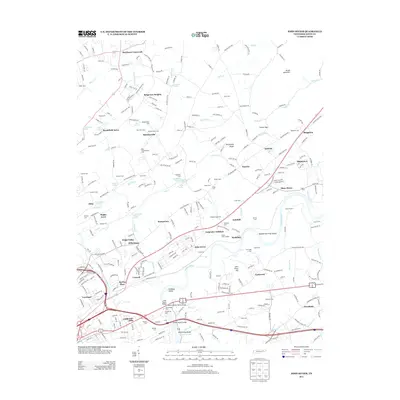
2013 Map of John Sevier
USGS Topo · Published 2013About this map
The Holston River carves a winding path through this corner of Knox County, defining a landscape of agricultural lowlands and ridges east of Knoxville. Near the river's bend, the John Sevier yard and Carpenter Addition highlight the importance of transport and labor, while the Knox County Penal Farm and the Poplar View Landfill mark significant land use patterns in the valley. The map is particularly rich for genealogical research, documenting numerous burial sites such as the Old Poor Farm Cem and Mtn View Cem.
Find a feature on this map
290 named features on this map. Tap any name to fly to it.
Don’t see what you’re looking for? This feature index may not catch every label — zoom into the map to look around manually.
Map Details
Editions of this 2013 John Sevier Map
This is the sole edition of this map. No revisions or reprints were ever made.
Other maps of this area

1886 · Knoxville
USGS Topo · 1:125,000

1892 · Knoxville
USGS Topo · 1:125,000

1894 · Knoxville
USGS Topo · 1:125,000

1895 · Knoxville
USGS Topo · 1:125,000

1897 · Maynardville
USGS Topo · 1:125,000

1900 · Maynardville
USGS Topo · 1:125,000

1901 · Knoxville
USGS Topo · 1:125,000

1935 · Luttrell
USGS Topo · 1:24,000

1935 · Mascot
USGS Topo · 1:24,000

1935 · Knoxville
USGS Topo · 1:48,000