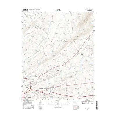
2016 Map of John Sevier
USGS Topo · Published 2016About this map
The Holston River winds through this section of eastern Tennessee, creating a landscape of islands and shoals like Cabbage Island and Double Fish Trap Shoals. To the north, House Mtn and McAnnally Ridge define the local topography, while numerous small communities such as Harbison Crossroads, Maloneyville, and Skaggston dot the countryside. This area is remarkably dense with family and community burial grounds, including the Old Poor Farm Cem, Luttrell Cem, and Shell Cem, which provide significant genealogical touchpoints for local families.
Find a feature on this map
233 named features on this map. Tap any name to fly to it.
Don’t see what you’re looking for? This feature index may not catch every label — zoom into the map to look around manually.
Map Details
Editions of this 2016 John Sevier Map
This is the sole edition of this map. No revisions or reprints were ever made.
Other maps of this area

1886 · Knoxville
USGS Topo · 1:125,000

1892 · Knoxville
USGS Topo · 1:125,000

1894 · Knoxville
USGS Topo · 1:125,000

1895 · Knoxville
USGS Topo · 1:125,000

1897 · Maynardville
USGS Topo · 1:125,000

1900 · Maynardville
USGS Topo · 1:125,000

1901 · Knoxville
USGS Topo · 1:125,000

1935 · Luttrell
USGS Topo · 1:24,000

1935 · Mascot
USGS Topo · 1:24,000

1935 · Knoxville
USGS Topo · 1:48,000