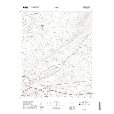
2019 Map of John Sevier
USGS Topo · Published 2019About this map
The Holston River winds through this portion of East Tennessee, defining the landscape between House Mtn and the growing northeast edge of Knoxville. The river's path is marked by distinctive navigation points such as Double Fish Trap Shoals, Cabbage Island, and Craigheads Shoals, reflecting a long history of river-based geography. The surrounding terrain is characterized by parallel ridges and valleys, including Beaver Valley and Hines Valley, which have historically dictated the placement of long-standing transportation corridors like Rutledge Pike and Washington Pike.
Find a feature on this map
103 named features on this map. Tap any name to fly to it.
Don’t see what you’re looking for? This feature index may not catch every label — zoom into the map to look around manually.
Map Details
Editions of this 2019 John Sevier Map
This is the sole edition of this map. No revisions or reprints were ever made.
Other maps of this area

1886 · Knoxville
USGS Topo · 1:125,000

1892 · Knoxville
USGS Topo · 1:125,000

1894 · Knoxville
USGS Topo · 1:125,000

1895 · Knoxville
USGS Topo · 1:125,000

1897 · Maynardville
USGS Topo · 1:125,000

1900 · Maynardville
USGS Topo · 1:125,000

1901 · Knoxville
USGS Topo · 1:125,000

1935 · Luttrell
USGS Topo · 1:24,000

1935 · Mascot
USGS Topo · 1:24,000

1935 · Knoxville
USGS Topo · 1:48,000