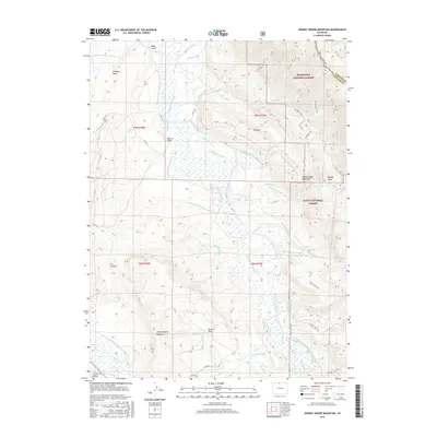
2016 Map of Johnny Moore Mountain
USGS Topo · Published 2016About this map
Johnny Moore Mountain and Elk Mtn dominate the topography of this high-country landscape, where the Canadian River cuts through the western reaches of the Roosevelt National Forest. The map reveals a complex 21st-century water management system defined by numerous ditches including the Medicine Bow Ditch, Gillette Ditch Number 1, and Sudduth Ditch Number 1, which channel water across the high parks and draws.
Find a feature on this map
64 named features on this map. Tap any name to fly to it.
Don’t see what you’re looking for? This feature index may not catch every label — zoom into the map to look around manually.
Map Details
Editions of this 2016 Johnny Moore Mountain Map
This is the sole edition of this map. No revisions or reprints were ever made.
Other maps of this area

1916 · Home
USGS Topo · 1:125,000

1920 · Home
USGS Topo · 1:125,000

1954 · Greeley
USGS Topo · 1:250,000

1954 · Craig
USGS Topo · 1:250,000

1955 · Eagle Hill
USGS Topo · 1:24,000

1955 · Gould
USGS Topo · 1:24,000

1955 · Owl Ridge
USGS Topo · 1:24,000

1955 · Shipman Mountain
USGS Topo · 1:24,000

1955 · Gould NW
USGS Topo · 1:24,000

1955 · Kings Canyon
USGS Topo · 1:62,500