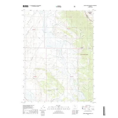
2019 Map of Johnny Moore Mountain
USGS Topo · Published 2019About this map
Johnny Moore Mtn and the Medicine Bow Mountains define the high country of this Larimer County landscape, where the headwaters of the Canadian River and Muddy Cr are managed through an intricate system of high-altitude irrigation. The map reveals a complex water-rights history, documented by numerous named water features like Sudduth Ditch Number 1, Gillette Ditch Number 1, and the Carpenter Ditch Number 1. These channels move water across the divide and through open grazing lands like Muddy Park and Brown Park. Settlement is sparse in this wilderness area, which is primarily divided between the Roosevelt National Forest and Routt National Forest. Remote travel is supported by a network of pack trails, including the Jack Dickens Trail and the Clear Lake Trail, which navigate the steep terrain of Cat Canyon and the slopes of Elk Mtn.
Find a feature on this map
60 named features on this map. Tap any name to fly to it.
Don’t see what you’re looking for? This feature index may not catch every label — zoom into the map to look around manually.
Map Details
Editions of this 2019 Johnny Moore Mountain Map
This is the sole edition of this map. No revisions or reprints were ever made.
Other maps of this area

1916 · Home
USGS Topo · 1:125,000

1920 · Home
USGS Topo · 1:125,000

1954 · Greeley
USGS Topo · 1:250,000

1954 · Craig
USGS Topo · 1:250,000

1955 · Eagle Hill
USGS Topo · 1:24,000

1955 · Gould
USGS Topo · 1:24,000

1955 · Owl Ridge
USGS Topo · 1:24,000

1955 · Shipman Mountain
USGS Topo · 1:24,000

1955 · Gould NW
USGS Topo · 1:24,000

1955 · Kings Canyon
USGS Topo · 1:62,500