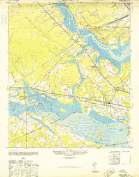
1948 Map of Johns Island
USGS Topo · Published 1948About this map
The Stono River and Ashley River define this coastal landscape just west of Charleston, where the transition from plantation estates to early mid-century infrastructure is clearly visible. Historic landmarks like Drayton Hall and Ashley Hall sit alongside newer developments, while the remnants of Fort Bull and multiple sites labeled Old Fort point to the region's long-standing strategic value. The area is heavily intersected by major rail lines including the Atlantic Coast Line and Seaboard Air Line, which facilitated the local economy alongside the Bula Mines.
Find a feature on this map
41 named features on this map. Tap any name to fly to it.
Don’t see what you’re looking for? This feature index may not catch every label — zoom into the map to look around manually.
Map Details
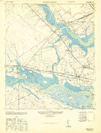
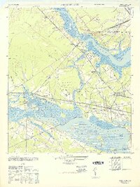
Editions of this 1948 Johns Island Map
3 editions found
Other maps of this area

1919 · Ladson
USGS Topo · 1:21,120

1919 · Johns Island
USGS Topo · 1:21,120

1919 · Wadmelaw Island
USGS Topo · 1:62,500

1919 · Melgrove
USGS Topo · 1:21,120

1919 · Charleston
USGS Topo · 1:21,120

1919 · James Island
USGS Topo · 1:21,120

1919 · Legareville
USGS Topo · 1:21,120

1920 · Ravenels
USGS Topo · 1:62,500

1940 · Melgrove
USGS Topo · 1:24,000

1943 · Legareville
USGS Topo · 1:24,000