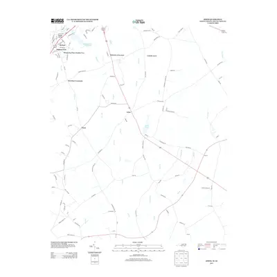
2013 Map of Johns
USGS Topo · Published 2013About this map
Johns and the surrounding coastal plain of Scotland County are defined by a complex network of small tributaries and named residential pockets in this 2013 study. The landscape is segmented by watercourses like Leith Cr, Bridge Cr, and Little Bull Br, which drain toward the larger Shoe Heel Cr to the east. Higher ground is occupied by established crossroads and expanding neighborhoods such as McKenzie Acres East and Whispering Pines Number Two. In the northwestern corner, Saint Andrews College Lake serves as a prominent landmark near Edgeland Park. The map also documents significant local junctions like McArthur Crossroads and the settlement of Hasty, illustrating the transit patterns between these rural communities and nearby larger centers.
Find a feature on this map
96 named features on this map. Tap any name to fly to it.
Don’t see what you’re looking for? This feature index may not catch every label — zoom into the map to look around manually.
Map Details
Editions of this 2013 Johns Map
This is the sole edition of this map. No revisions or reprints were ever made.
Other maps of this area

1942 · Rockingham
USGS Topo · 1:125,000

1949 · Gibson
USGS Topo · 1:24,000

1949 · Laurinburg
USGS Topo · 1:24,000

1949 · Wakulla
USGS Topo · 1:24,000

1949 · Hamlet
USGS Topo · 1:62,500

1949 · Laurinburg
USGS Topo · 1:62,500

1953 · Florence
USGS Topo · 1:250,000

1954 · Florence
USGS Topo · 1:250,000

1957 · Laurinburg
USGS Topo · 1:24,000

1971 · Minturn
USGS Topo · 1:24,000