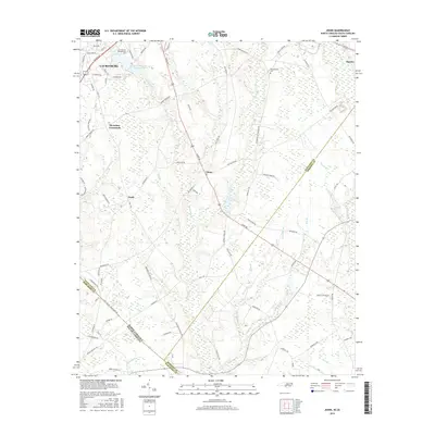
2016 Map of Johns
USGS Topo · Published 2016About this map
Laurinburg and its surrounding rural hamlets anchor this 2016 survey, where the agricultural landscape of Scotland County meets the South Carolina border. The map highlights the sprawling campus of the St Andrews Presbyterian Coll and the adjacent Saint Andrews College Lake in the northwest. Moving southeast, the landscape is defined by the headwaters of numerous coastal plain streams like Leith Creek, Bridge Creek, and Bull Branch, which carve through the low-lying terrain. Small settlements such as Johns, Hasty, and McArthur Crossroads are connected by a network of rural routes, including the namesake Johns Rd. Genealogists and local historians will find the Stewartsville Cem and traces of older infrastructure, such as the path along Oak Grove School Rd, valuable for locating family landmarks within this historic farming corridor.
Find a feature on this map
90 named features on this map. Tap any name to fly to it.
Don’t see what you’re looking for? This feature index may not catch every label — zoom into the map to look around manually.
Map Details
Editions of this 2016 Johns Map
This is the sole edition of this map. No revisions or reprints were ever made.
Other maps of this area

1942 · Rockingham
USGS Topo · 1:125,000

1949 · Gibson
USGS Topo · 1:24,000

1949 · Laurinburg
USGS Topo · 1:24,000

1949 · Wakulla
USGS Topo · 1:24,000

1949 · Hamlet
USGS Topo · 1:62,500

1949 · Laurinburg
USGS Topo · 1:62,500

1953 · Florence
USGS Topo · 1:250,000

1954 · Florence
USGS Topo · 1:250,000

1957 · Laurinburg
USGS Topo · 1:24,000

1971 · Minturn
USGS Topo · 1:24,000