2022 Map of Johns
USGS Topo · Published 2022About this map
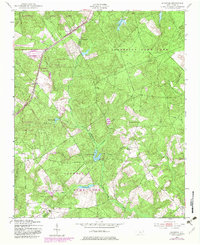
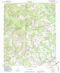
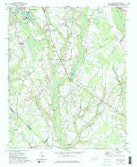
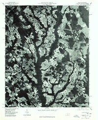
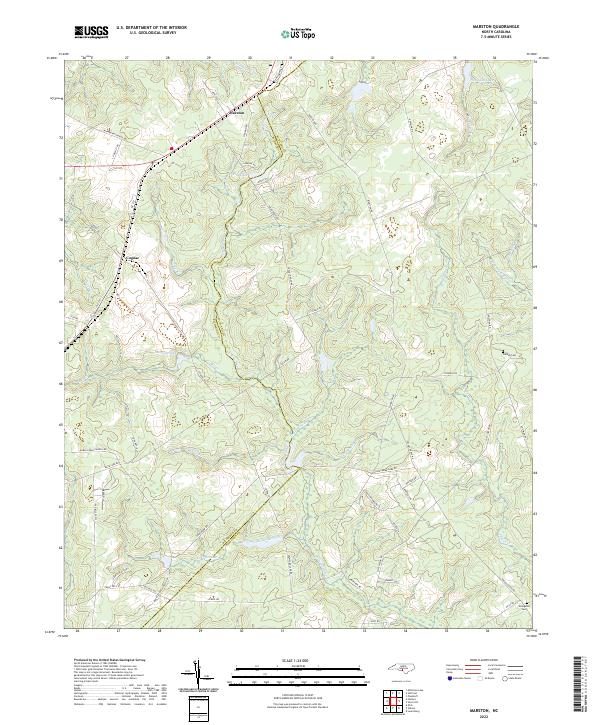
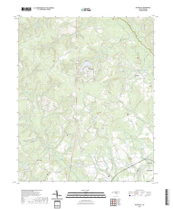
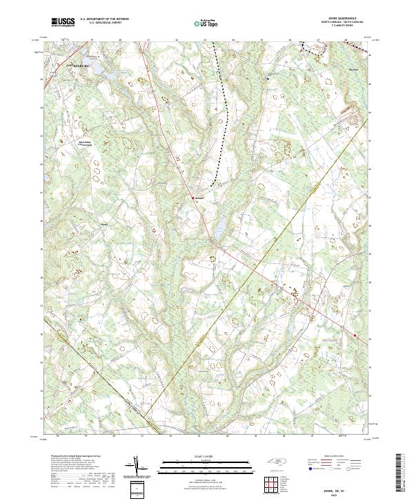
Stewartsville Cem and the settlement of Johns anchor this landscape along the border of Scotland and Robeson counties. The area is defined by a dense network of blackwater streams and drainages, including Leith Creek, Shoe Heel Cr, and Little Bull Branch, which flow through a region traditionally shaped by agriculture and institutional growth. The northern reach of the map features the campus of Saint Andrews University and Saint Andrews College Lake on the edge of Laurinburg. Smaller community nodes like McArthur Crossroads and Hasty are connected by a grid of named rural routes, such as Barnes Bridge Rd and Pea Bridge Rd. This geography reflects a modern continuation of the region's historic identity as a crossroads of the inner coastal plain, where family-named landmarks and long-established cemeteries persist amidst shifting development patterns.
Find a feature on this map
96 named features on this map. Tap any name to fly to it.
Don’t see what you’re looking for? This feature index may not catch every label — zoom into the map to look around manually.
Map Details
Editions of this 2022 Johns Map
This is the sole edition of this map. No revisions or reprints were ever made.
Historical Maps of McKenzie Acres East Through Time
9 maps found