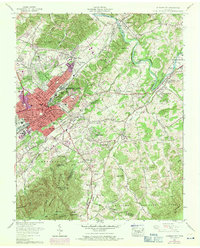
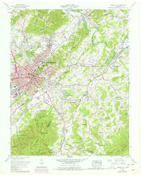
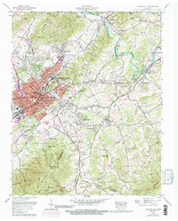
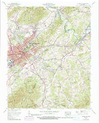
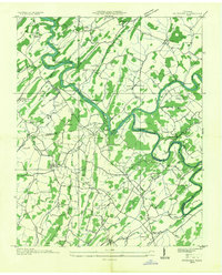
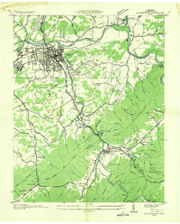
1959 Map of Johnson City
USGS Topo · Published 1971About this map
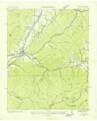
Johnson City is depicted during a period of significant post-war growth, with purple urban revision tints showing the expansion of residential streets and industrial sites. The city's identity as a regional rail hub is anchored by the Southern Railway and Clinchfield Railroad, which intersect near the historic downtown core and the Post Office. Beyond the urban grid, the landscape transitions into the hills of the Cherokee National Forest and the fertile valley of the Watauga River. Institutional landmarks like Milligan College and the Veterans Administration Center at Mountain Home stand as major local hubs. Cultural history is preserved at the Sycamore Shoals Monument near Elizabethton, while the rural surroundings are dotted with long-standing landmarks like Sinking Creek Ch and several family cemeteries including Oak Hill Cem and Peoples Cem.
Find a feature on this map
93 named features on this map. Tap any name to fly to it.
Don’t see what you’re looking for? This feature index may not catch every label — zoom into the map to look around manually.
Map Details
Editions of this 1959 Johnson City Map
4 editions found
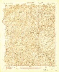
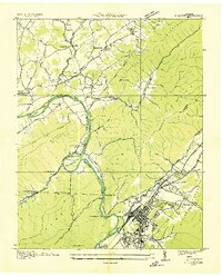
Other maps of this area

1891 · Roan Mountain
USGS Topo · 1:125,000

1894 · Roan Mountain
USGS Topo · 1:125,000

1904 · Roan Mountain
USGS Topo · 1:125,000
1934 · Iron Mtn Gap
USGS Topo · 1:24,000

1935 · Watauga Valley
USGS Topo · 1:48,000
1935 · Erwin
USGS Topo · 1:24,000
1935 · Spurgeon
USGS Topo · 1:24,000
1935 · Elizabethton
USGS Topo · 1:24,000
1935 · Unicoi
USGS Topo · 1:24,000
1935 · Bluff City
USGS Topo · 1:24,000